May 2024 UAV Mapping & Modeling – CSU
- May 28 & 29, 2024
- 4451 Laporte Ave, Fort Collins, 80521
UAV Mapping & Modeling
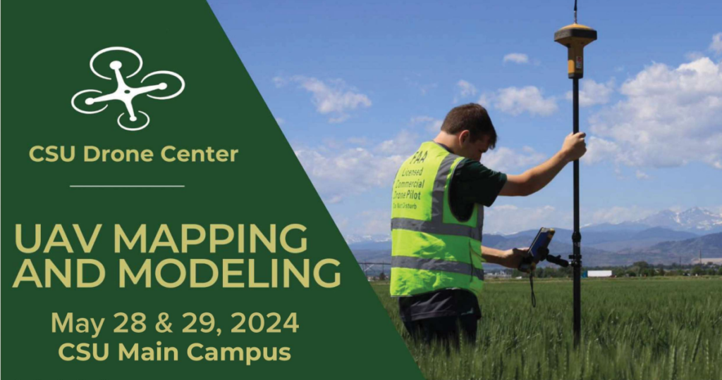
The CSU Drone Center UAV Mapping & Modeling Course is designed to teach students, researchers and industry professionals how to successfully capture aerial imagery using UAV’s and process mission data into 3D orthomosaic models.
Learn how to build flight missions using Pix4D and a variety of aircraft platforms in real-world terrain environments and participate in aircraft demonstrations including the DJI M350 RTK, WingtraOne Gen II, BlackSwift S1 and others.
Process your own aerial imagery following your mission to create accurate 3D orthomosaic models.
Class size is limited and usually fills up weeks prior to the class. Please contact Chris Robertson with any questions
$495 for CSU affiliated students, researchers, staff, and faculty
$625 for non-affiliated community members