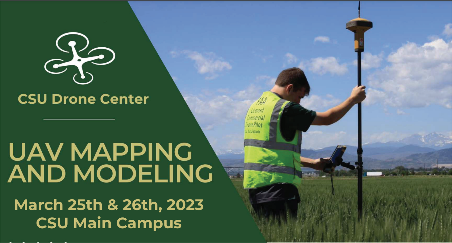
CSU UAV Mapping and Modeling Workshop – March 2023
- March 25-26 2023
- CSU Main Campus
Learn how aerial map using drones!
The CSU Drone Center UAV Mapping & Modeling Course is designed to teach students, researchers and industry professionals how to successfully capture aerial imagery using UAV’s and process mission data into 3D orthomosaic models.
Participants with learn how to build flight missions using Pix4D and DJI Phantom Pro V2 and watch DJI Phantom 4 RTK and WingtraOne Gen II Demonstrations.
Class size is limited, register early.
Contact Chris Robertson with any questions.
$495 for CSU Affiliates
$625 for Industry & non-affiliated community members