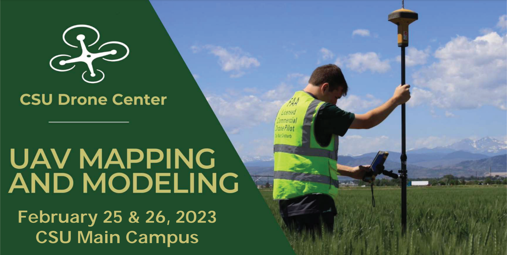
CSU UAV Mapping and Modeling Workshop – February 2023
- February 25 & 26, 2023
- CSU Main Campus
Learn how aerial map using drones!
The UAV Mapping and Modeling workshop is designed to teach drone pilots how to gather accurate aerial data sets for import into end user mapping and modeling software. Participants will receive classroom and hands on flight instruction utilizing DJI Phantom 4 V2, DJI Phantom 4 RTK, and the Wingtra Gen 2. Participants will be exposed to import of data sets into mapping programs and generation of GIS products such as orthomosaic, point cloud models, and digital surface models.
Students will need to bring a new generation of Ipad or Andriod tablet. Class size is limited and usually fills up weeks prior to the school. Contact Chris Robertson with any questions.
$695 for CSU Affiliated Students, researchers, staff, and faculty
$825 for non-affiliated community members